

Why?
Visiting field sites and making field measurements is essential for understanding snow and hydrology systems. We also collect field data as it provides a “reality check” for our numerical models, and can complement and contextualize remote sensing measurements. All CryoSIGHT members are provided opportunities for fieldwork.
Where and When?
We have conducted and contributed to field studies in many locations across the western United States. The map below shows active (blue) and past (orange) locations. While much of our work is focused on winter and spring when snow is on the ground, we also visit field sites in spring and fall for snow-free site characterizations and site maintenance.
What and How do we Measure?
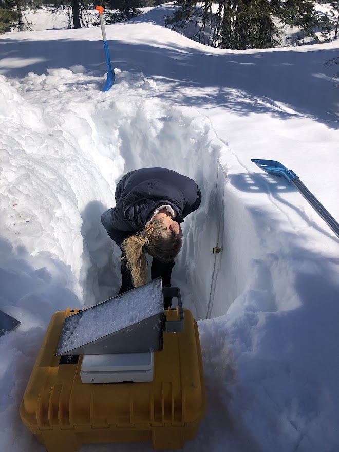
Snow Pits
After digging a pit in the snow, we measure vertical profiles of snow characteristics like density, temperature, and stratigraphy.
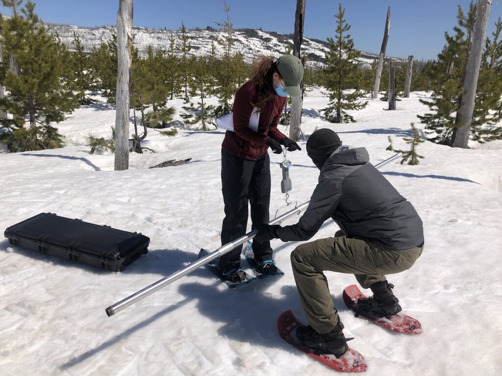
Snow Courses and Depth Transects
We characterize spatial variability in snow depth and water equivalent with probes and coring instruments.
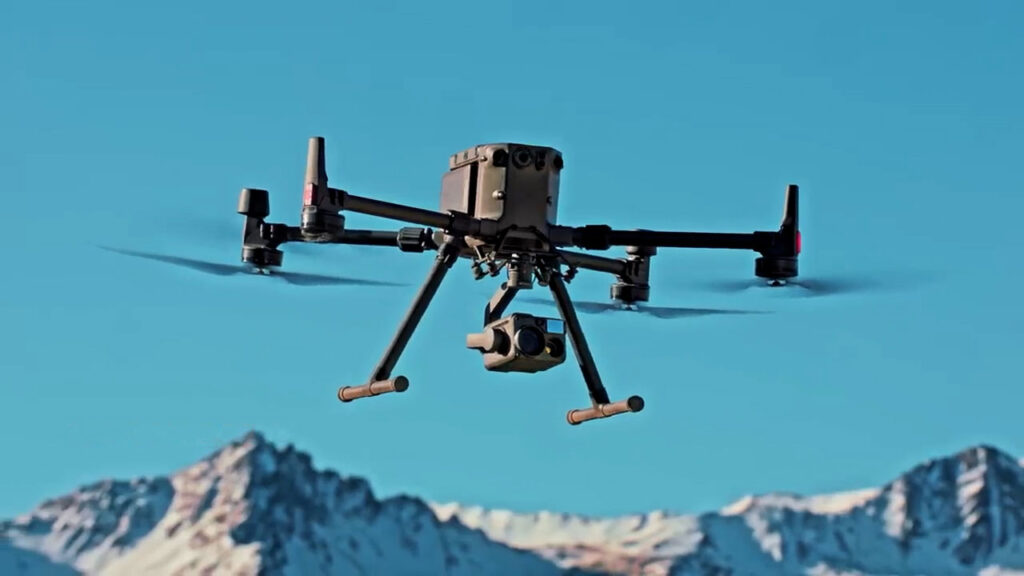
UAS/Drone Surveys
We are now starting to use UAS systems with LiDAR and camera payloads to provide spatially detailed mapping of snow depth, snow coverage, forest structure, and landscape characteristics.
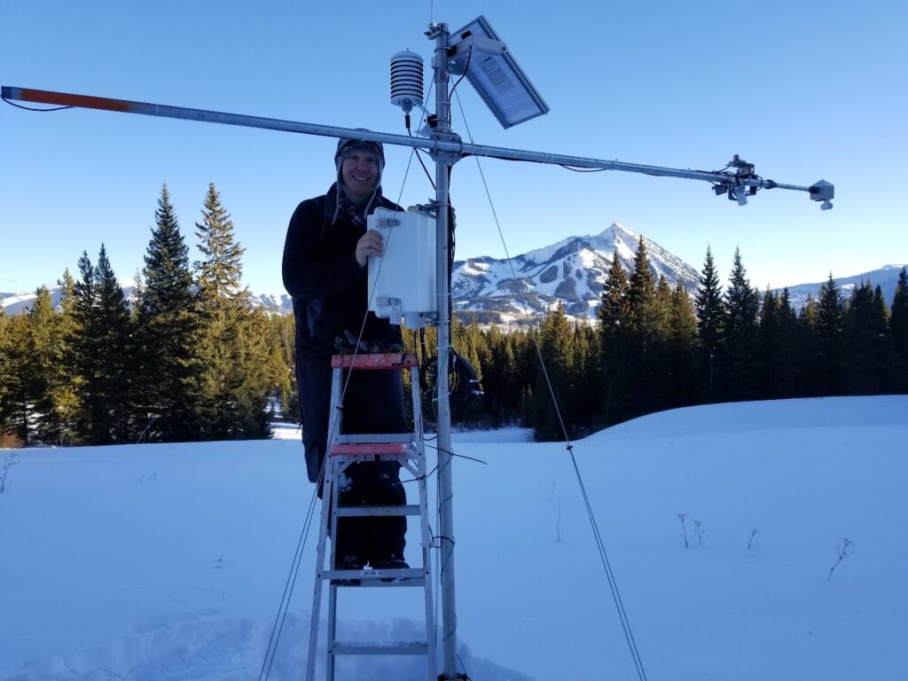
Meteorological Stations
We build, deploy, and maintain standalone meteorological stations to measure local weather, radiation, and snow conditions at mountain and forest study sites.
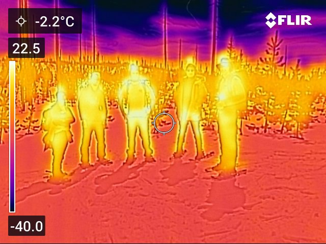
Thermal Sensing and Imaging
We measure changes in temperature of snow and surrounding environments using thermal infrared temperature sensors and cameras.
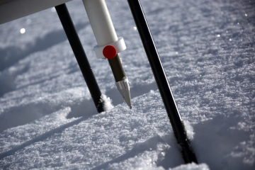
Snow Hardness and Microstructure
We can measure snowpack hardness and layering at a very high vertical resolution using the Swiss SLF SnowMicroPen, which in some cases can be used to derive estimates of other snow properties like density and specific surface area.